Edited by
Nicolas Baghdadi, IRSTEA, France
Clément Mallet, National Institute of Geographic and Forest Information, France
Mehrez Zribi, CNRS, France
ISBN : 9781786301871
Publication Date : January 2018
Hardcover 310 pp
155.00 USD
Co-publisher


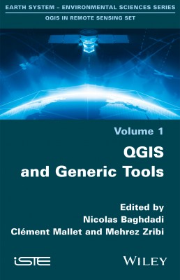
The QGIS in Remote Sensing Set aims to facilitate the appropriation and operational use of the Quantum Geographic Information System (QGIS) software in the field of remote sensing.
This first volume describes the operating principles of QGIS and the most frequently used and fundamental libraries in image processing and geomatics: GDAL, GRASS, SAGA and OTB. It presents many core features that will be implemented in various practical cases of remote sensing and spatial analysis in the other three volumes of the set.
This work is carried out by scientists who are proficient to a high level of technicality. The book is targeted at students (Masters, engineering students, PhDs), engineers and researchers who have already adopted geographic information systems. In addition to the text, readers will have access to data and tools allowing the integral realization of the scientific procedures described in each chapter, as well as screenshots of all the windows which illustrate the manipulations necessary for the realization of each application.
1. Introduction to QGIS, Nicolas Moyroud and Frédéric Portet.
2. Introduction to GDAL Tools in QGIS, Kenji Ose.
3. GRASS GIS Software with QGIS, Bernard Lacaze, Julita Dudek and Jérôme Picard.
4. The Use of SAGA GIS Modules in QGIS, Paul Passy and Sylvain Théry.
5. Orfeo ToolBox Applications, Rémi Cresson, Manuel Grizonnet and Julien Michel.
6. Online Publication of a Land Cover Map Using LizMap, Jean-Baptiste Laurent and Louise Leroux.
7. GeoHealth and QuickOSM, Two QGIS Plugins for Health Applications, Vincent Herbreteau, Christophe Révillion and Etienne Trimaille
Nicolas Baghdadi is Research Director at the National Research Institute of Science and Technology for the Environment and Agriculture (IRSTEA). He is currently Scientific Director of the Theia Land Data Centre (France).
Clément Mallet is a senior researcher at the National Institute of Geographic and Forest Information (IGN). He is a member of the LaSTIG laboratory, a joint lab between IGN and the University of Paris-Est, France.
Mehrez Zribi is Research Director at the National Center for Scientific Research (CNRS). He is currently working at the Center for the Study of the Biosphere from Space (CESBIO) in Toulouse (France) where he is also responsible for the “Observation Systems” team.